Directions
 Directions to Brú na Bóinne Visitor Centre, the access point for Newgrange and Knowth. Visitors to Dowth must drive directly to the site on the north bank of the River Boyne, a couple of miles from the Slane to Drogheda road.
 Directions to the Megalithic Passage Tomb at Fourknocks. It is located 10 miles southeast of Newgrange on the border of counties Meath and Dublin.
 Directions to Loughcrew, clusters of megalithic cairns are dotted around the Slieve na Caillaigh hills at Loughcrew. The main concentrations are on Carnbane East, where Cairn T is the centrepiece, and Carnbane West, where Cairn L is located.
For directions to Newgrange and Knowth on sat nav and map apps, use the Eircode A92 EH5C for the Brú na Bóinne Visitor Centre.
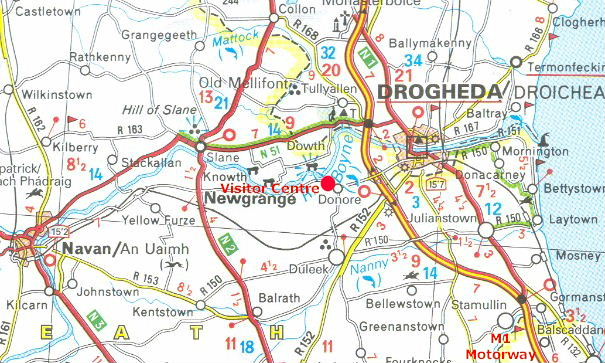 Section of the Michelin Motoring and Tourist Map of Ireland.
This map shows the main roads of east Meath. The Drogheda section of the M1 Motorway opened in June 2003 and is the most direct route from Dublin or Belfast to Brú na Bóinne Visitor Centre, the access point for visitors to Newgrange and Knowth.
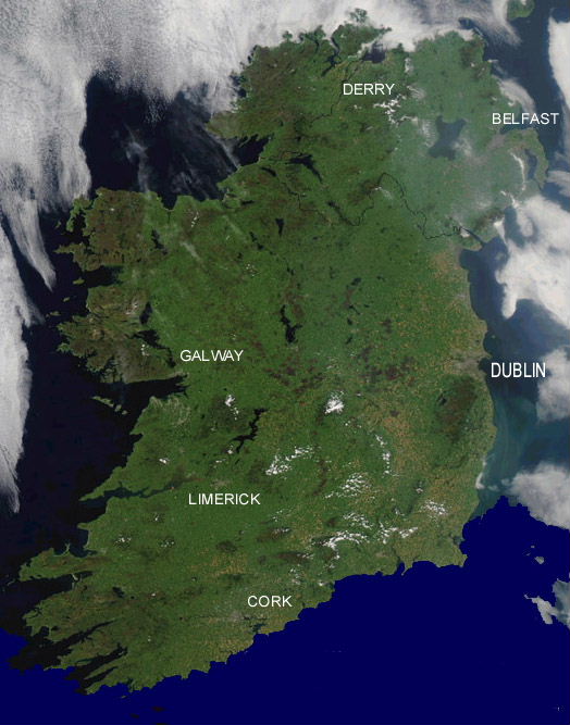 Image of Ireland taken by NASA's Aqua MODIS, August 2003.