Map and directions to Loughcrew Cairns
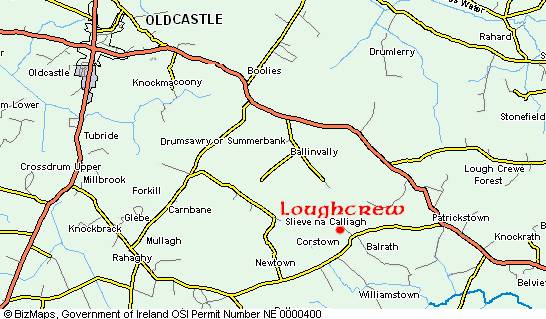
The Loughcrew cairns are located 80 KM (50 miles) north west of Dublin, close to the town of Oldcastle. From Dublin take the M3 towards Kells, then take the Oldcastle Road to Loughcrew.
Ordnance Survey map 42
Car Park N 53.744083° (N 53°44.645) W 7.118783° (W 007°07.127)
Cairn T N 53.744833° (N 53°44.690) W 7.112217° (W 007°06.733)
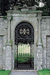 During the off season, the key to Cairn T is available at
Loughcrew Gardens.
During the off season, the key to Cairn T is available at
Loughcrew Gardens.
The Naper family have been creating Loughcrew Gardens since 1660, the result is a garden comprising water, trees, vistas and archaeology rather than flowerbeds. The surviving 17th century features include a yew walk, foundations of a longhouse and a walled garden from which a canal and a parterre have been relocated in replica.
In the 19th century these earlier elements were enveloped in a development of parkland, watergardens, specimen trees, follies, rockeries, woodwalks and vistas. The central area of approximately six acres now includes a lime avenue, lawns and terraces and herbaceous border.
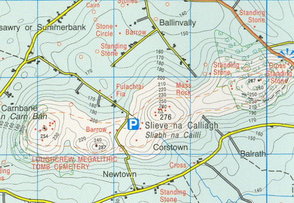
Ordnance Survey of Ireland ©Government of Ireland / Rialtas na hÉireann
Boyne Valley Private Day Tour
Home
| Newgrange
| Knowth
| Dowth
| Hill of Tara
| Fourknocks
| Loughcrew
| More Places
| Labyrinths
| Local Info
| Art Works
| Articles
| Images
| Books
| Links
| Boyne Valley Tours
| Contact